November 09, 2003
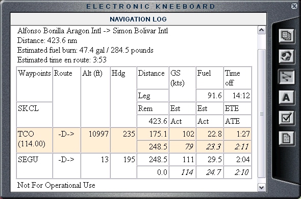
Cali, Colombia (SKCL) to Guayaquil, Ecuador (SEGU)
|
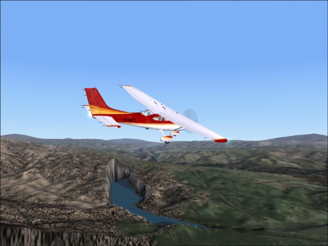
After brief rest, refueling and aircraft inspection I was ready to continue my journey. When I was creating a flight plan for this leg of the trip, the suggested safe altitude for the direct route between Cali and Guayaquil was over 20,000 (Highest peak in Ecuadorian Andes is Chimborazo at 20,702 ft). That is way more than my little dinky plane can climb too, so yet again, I will fly using way points around the mountains. Even then I had to climb high just to be able to cross the ridge 20 miles south-west of Cali (see pictures below). That is the one I came over when landing (see description on the previous page). In order to fly over that ridge, I had to circle 3 times before I could get high enough (12,000 ft) and even then I had to go around some peaks. The rest of the time I flew west of the Andes and was able to stay low at the fuel saving altitude of 7,000 ft. First thing that comes to mind when thinking about the Columbia and the mountains is coffee and Juan Valdez (the guy with the donkey). Mmmmm coffee. I was looking for Juan, but he was nowhere to be seen. I have installed 74 m resolution scenery of Colombia, so the terrain really looked awesome. The add-on scenery does not come with Juan and his donkey though. This leg of my journey took me over the Equator, to the southern hemisphere, something I always wanted to do. Guayaquil is located in the bay (80 degrees West, 2 degrees South) which is, interestingly, called Golfo de Guayaquil. Who would have guessed? The really bad news though was that it was getting dark at around 18:00 hours local time, which was 16:00 hours Utah time, so flying next week will be hard for me, as I usually cannot start before 17:00. Not only that it is dangerous to fly over Andes at night, but it also is not nearly as interesting. I will have to see what kind of progress I will be able to make over the next 5 days. |
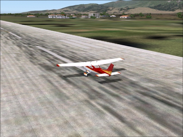
Leaving Cali
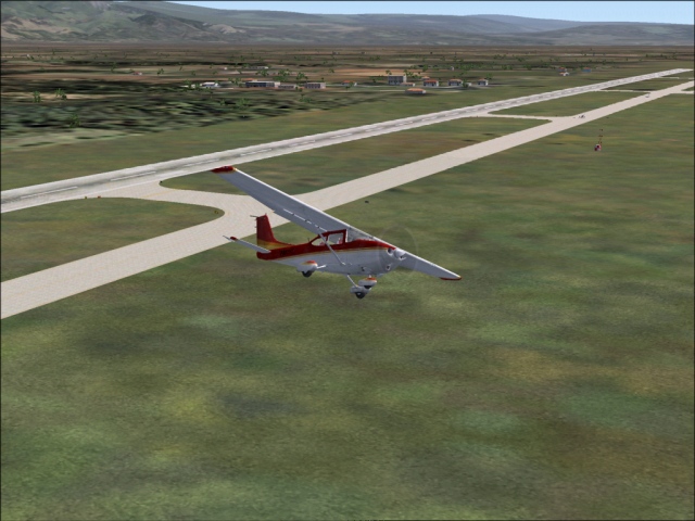
8,000 ft is not going to do it 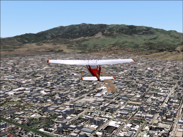
Have to go back 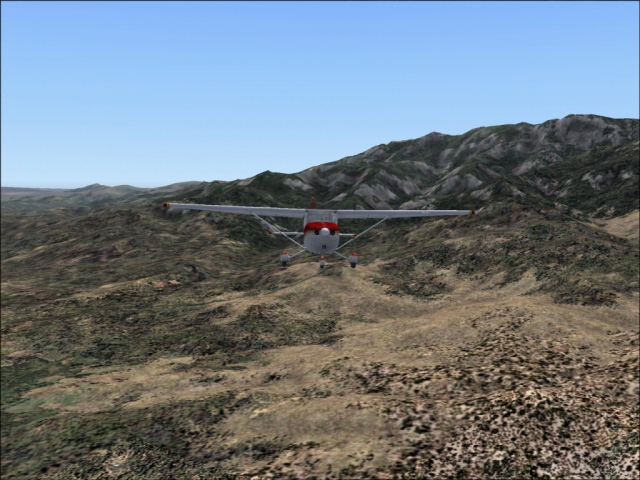
10,000 is not enough either 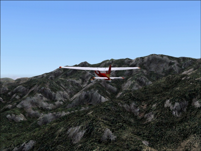
At 12,000 ft and I still have to go around 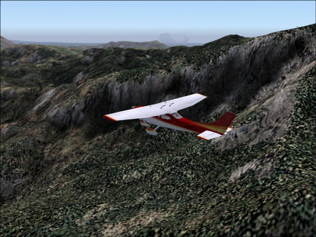
Staying to the west of the Andes 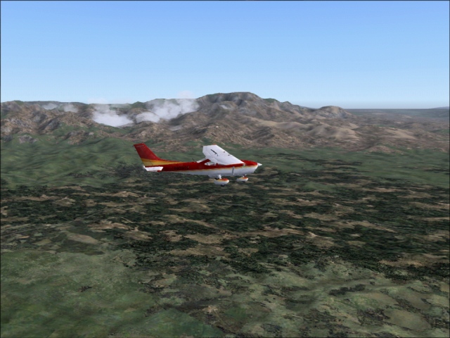
Columbian flatlands 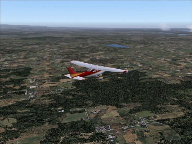 The Ecuadorian Andes
Corssing the Equator 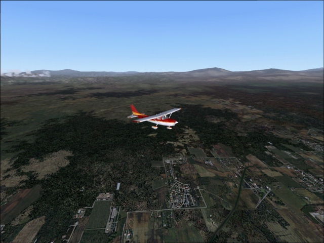
|
List of countries:
Colombia
Equador
|
Flight log:
|
Produced and maintained by Peter Askovich.
Last updated Sun October 26 2003