
November 06, 2003
Acapulco, Mexico (MMAA) to Guatemala City, Guatemala (MGGT)
|
It is becoming apparent to me that I will have to resign to flying at dusk and night at least during the work week. I just cannot start early enough in the afternoon. I was hoping that as I go south, the days would be longer, and consequently I would have more daylight. While that is true, one minor thing that I forgot was that my route is taking me south-east, which means that I am moving into earlier time zones as well. I have discovered though, that flying at night is not that bad after all. Direct route (the shortest one) between Acapulco and Guatemala City goes over quite a few high mountain peaks, and as I mentioned I do not particularly like to do that at night (and in clouds), so I decided to fly along the cost instead. That turned out to be a good decision as the west coast of Mexico and Guatemala was very interesting. I programmed the GPS to take me from Acapulco to the PXM VOR, TAP VOR and then to Guatemala City. That way, I could avoid most of the mountain peaks, and fly at the much lower altitude (7000 ft). The Acapulco airport is located on a narrow strip of land between the Pacific Ocean and Laguna de Tres Palos. Right after the takeoff I went over the Barra Vieja and the river whose name I could not find. Interestingly, on the map, I was able to find the exact place I was at, wide river going into the ocean, two highways crossing it (lower one is Highway 200), but the name of the river was just not there. You can see the map and the corresponding screen shot below. Plane icon on the map shows where my plane was when I took that shot. After the takeoff I followed the Highway 200 down the coast, and eventually over the ocean. Weather was mostly clear, but became somewhat cloudy over the Pacific. I was amazed how much the rendering improved in FS2004. As I was approaching the west coast of Guatemala, I climbed to 14,500 ft just to be safe (since the Guatemala City is in the mountains, at some point I had to fly over them). I was really nervous, as it was cloudy and I really had difficulty locating the highest peaks. The approach to the Guatemala City airport was not easy, as I had to fly high, make a sharp turn and then loose altitude fast. There was a lot of traffic as well, which made it more difficult although, no crazy King Air pilots this time. |
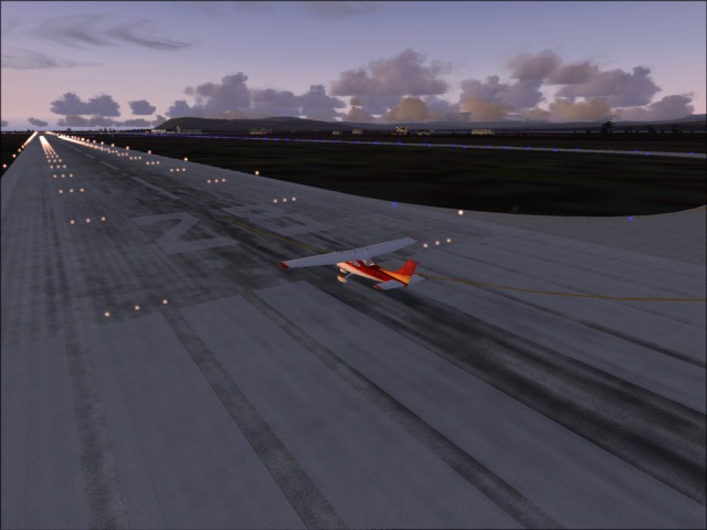
Waiting for a takeoff at Acapulco
Flying over Laguna de Tres Palos 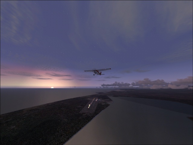
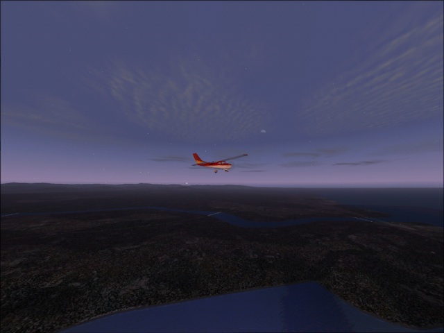
Following the Highway 200 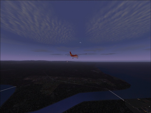
Map representing the area seen above 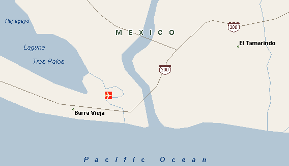
Clouds over the Pacific 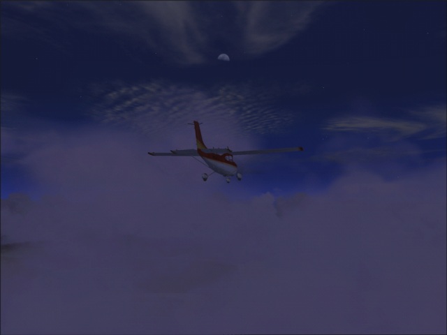
Approacihing the coast of Guatemala 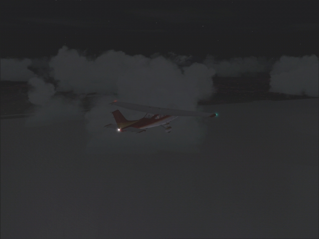
Taxying to the gate in Guatemala City 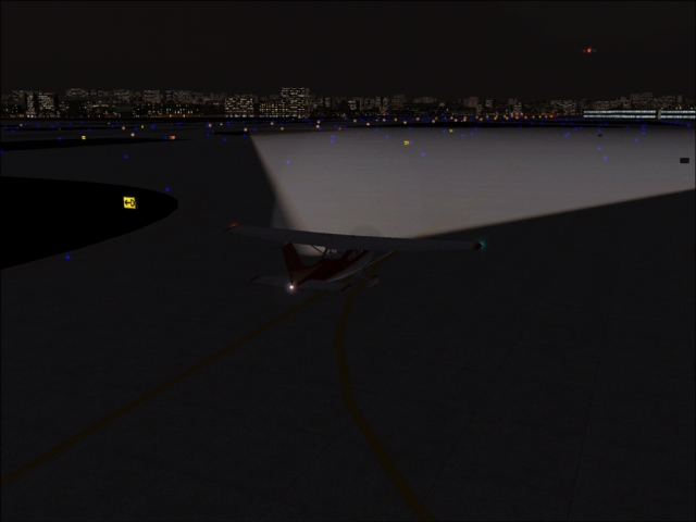
|
List of countries:
Mexico
Guatemala
|
Flight log:
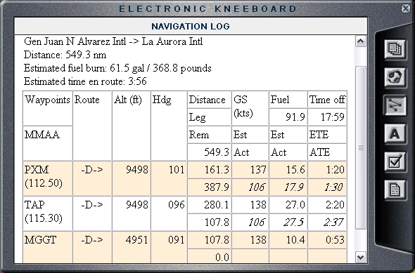
|
Produced and maintained by Peter Askovich.
Last updated Sun October 26 2003